Tama Lakes is probably the route I have walked most in Tongariro, around five times. I have been at different times of year, but most often in winter, and winter is when it looks best: the volcanoes usually have snow on their caps.
It is also easier than the Alpine Crossing, and far easier than the climb up Ruapehu. And unlike those two it is open all year, whereas they can require alpine skills and gear in winter.
Getting to the final lookout is technically straightforward, since there is a good track the whole way, but it is a long walk: 8.5 kilometres each way. I did this route with my mother and on the whole she handled it well.
In my report on the Alpine Crossing I wrote about the weather in this area in detail, but in short: it is very often cloudy here, so check the forecast in advance. When everything is wrapped in low cloud there is nothing to see.
As you drive up to the car park you are met by a commanding Ruapehu, with Ngauruhoe off to the left.
Once you start walking, the first couple of kilometres are fairly dull, since there is almost nothing to see and part of the way runs through dense forest. As you get further along, Ngauruhoe and Ruapehu start to appear. This section has a very gentle, even climb on a good track.
About three kilometres in there is a descent to Taranaki Falls, which is mostly visited by families with children and by people who do not want to walk far. You can drop down to the falls either at this point or on the way back, and then loop round to the car park, though that route takes a little longer. The falls themselves I would not call especially impressive.
From this same spot, on a clear cloudless day, you can see Mount Taranaki standing alone in the distance. Perhaps that is why the falls carry its name.
Why the falls are named after Taranaki
In Māori tradition Taranaki once stood right here, alongside Ruapehu and Tongariro. He and Tongariro fought over Mount Pihanga, and having lost, Taranaki headed west and settled on the coast where he stands today. So the volcano you can see from this spot a hundred kilometres away was, by the legend, once a neighbour. The falls themselves drop twenty metres over a bluff, and that bluff is the edge of a lava flow that Ruapehu put out around 15,000 years ago.
After that the walking gets slightly harder as the climb steepens a little, though nothing drastic. In return, views of Ruapehu start opening up on your right, along with the frozen lava lying in the valley, the traces of old eruptions.
Roughly a kilometre and a half past the falls you reach a high point, after which you start descending. This is one of the best viewpoints of Ngauruhoe and the valley between it and you. A good place to catch your breath, sit down, and carry on.
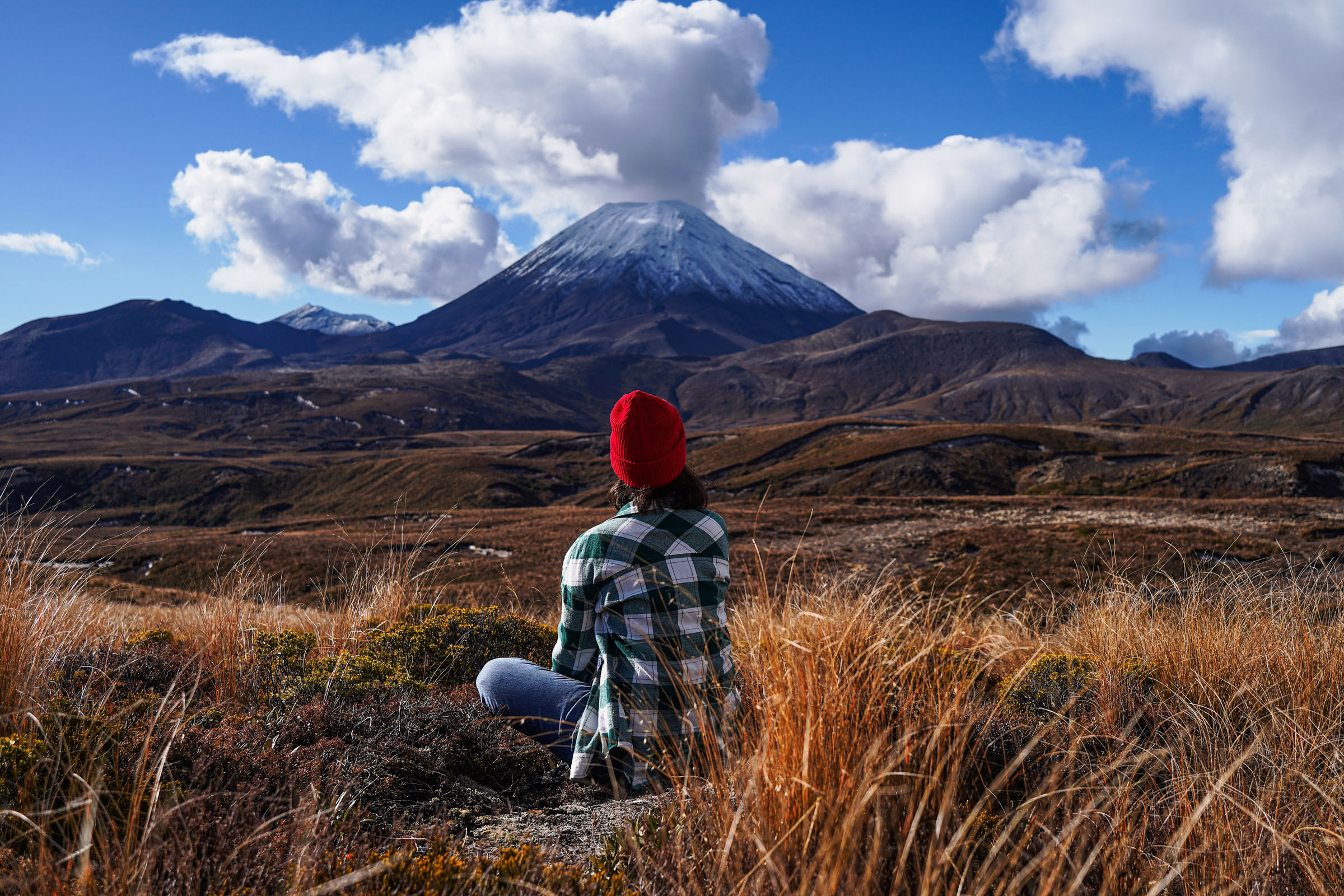
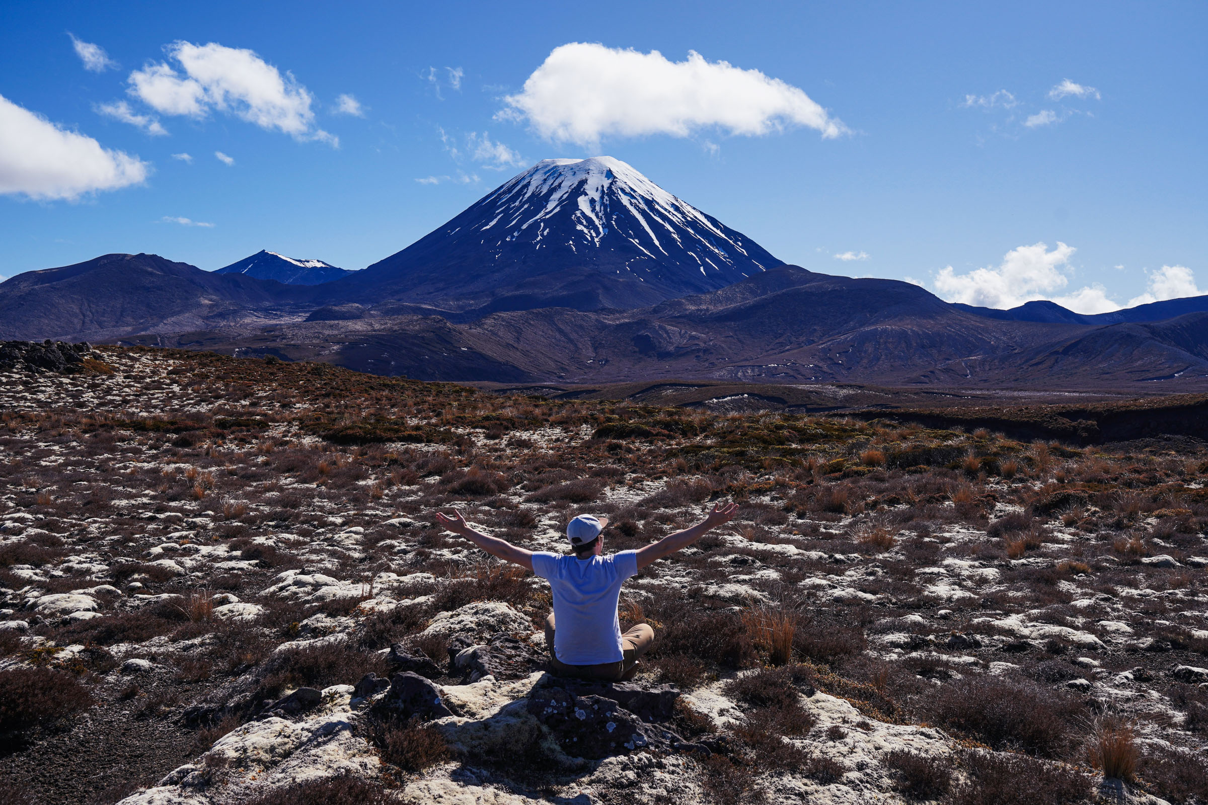
First there is a short descent, and then the track starts climbing gently again. At one point along the way it breaks off and you have to cross a mountain stream on stones, but that presents no real difficulty.
As you carry on, more and more new angles on Ngauruhoe and Ruapehu keep appearing.
Another three kilometres or so and you come out at a lookout over Lower Tama Lake.
The Tama Lakes
These are not ordinary mountain lakes but flooded craters. A crater like this forms when magma meets groundwater: the water flashes to steam and the resulting explosion blows out a pit, leaving almost no lava behind. These pits formed around ten thousand years ago and later filled with water. The lower lake sits at 1,240 metres and is slowly being filled in, as volcanic debris washes into the crater and makes it shallower. The upper one is at 1,314 metres and is said to be very deep. The lakes are named after Tamatea, chief of the Takitimu canoe, who explored this area six centuries ago.
You are almost at the end, and what remains is the hardest section of the route. You have a little under a kilometre to walk and about 150 metres to climb over slightly loose scree.
The climb is fairly steep but not brutal, though after the previous part of the route the contrast is sharp. There is no track as such here, but you can see orange markers showing the way.
On the way up, new views of Ruapehu and the lower lake keep opening.
The whole climb takes twenty to thirty minutes, and at the top there is a lookout over Upper Tama Lake, which lies to the left of the ridge you are standing on.
And another view of Ruapehu and the lower lake.
It can be quite windy and cold up top, especially in winter. I remember often having to put a hat on at the summit even though I had been walking in comfortable warmth until then. So take your photos and head back.
You return the same way as far as Taranaki Falls, except now you are mostly looking at Ruapehu, with Ngauruhoe behind you.
When you reach the falls, as I said, you can drop down to them and take the lower track instead. Honestly though, I do not see much point: the views hardly change and it adds about a kilometre.
Allow around six hours for the whole route, though if you are fit you can do it in five. Your legs will be fairly tired by the end, even though there were no big climbs.
In closing I would say this is a great route and one you should definitely do, along with the Alpine Crossing and the climb up Ruapehu. If time is short and you have to pick one, the Alpine Crossing is probably the one to do. But that does not mean Tama Lakes should be written off.