In practice the track splits into two parts: up to the Diamond Lake lookout, and then higher to the summit, which is called Rocky Peak. The first part is as simple as it gets, and people of any fitness walk it, children included.
It all begins with a short set of switchbacks on an old road. That stretch is unremarkable: you walk a little under a kilometre with a gentle climb, and there you are at the lake. You can do the loop around it, but honestly I do not see much point: there are no views around it and no decent view of the lake itself.
When you reach the lake there is a junction: the loop around it, and signs pointing further up to the lookout. Keep to the left.
From there you have 300 metres to walk and 60 metres to climb. The climb is fairly steep, but the track is good, so it will only trouble people who are not used to walking at all.
At the top there is a small lookout with a view of the lake itself, as well as the peaks of End Peak and Treble Cone.
Diamond Lake
This is a small lake of glacial origin not far from Wanaka. It formed in a landscape shaped by the movement of glaciers during the last ice age. The lake also has a traditional name, Ōturu, connected with Turu, an ancestor of the Waitaha people. The European name Diamond Lake came later, though the exact story behind it is unclear.
That is where the first part of the walk ends, and I would strongly recommend carrying on and climbing Rocky Peak.
From there the track gets a bit worse and muddier, and there is another 300 metres of climbing ahead. As you gain height Lake Wanaka starts to appear, and Roys Peak comes into view. When we walked this track there was some low cloud about, and we were counting on climbing above it.
There are several junctions on the way up. In practice they all lead upwards, and there are signs to orient yourself by. If in doubt, open Organic Maps or Google to work out where to go next.
Until you come out on the summit the views stay much the same as before: Roys Peak, End Peak, and Treble Cone.
It took us about an hour and a half to get to the top. Up there you can sit down, have something to eat, and take your photos: the views run in every direction, over Wanaka, to Roys Peak, to End Peak and Treble Cone, and Mount Aspiring is visible too.
And the views the other way, towards End Peak and Mount Aspiring.
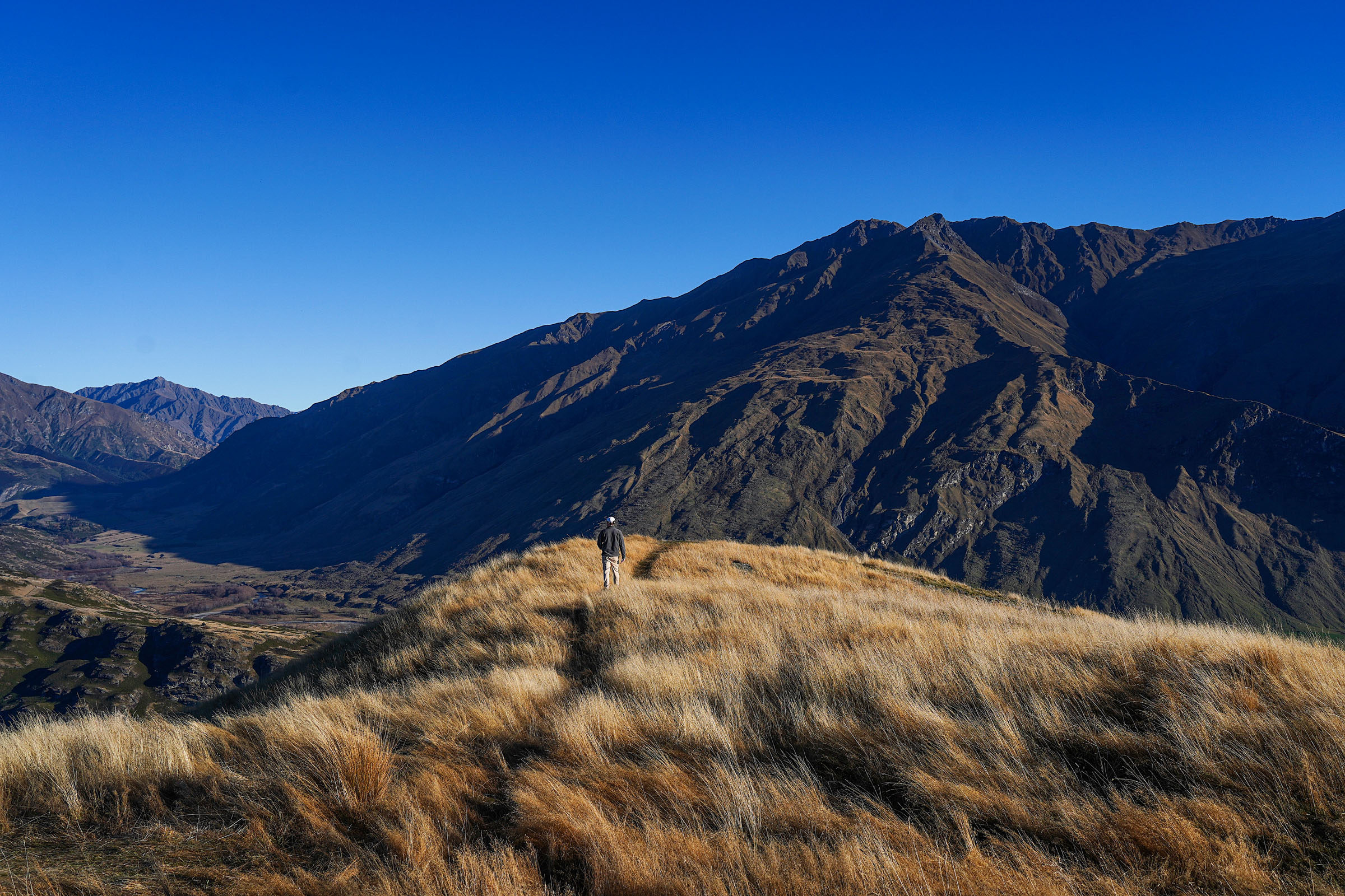
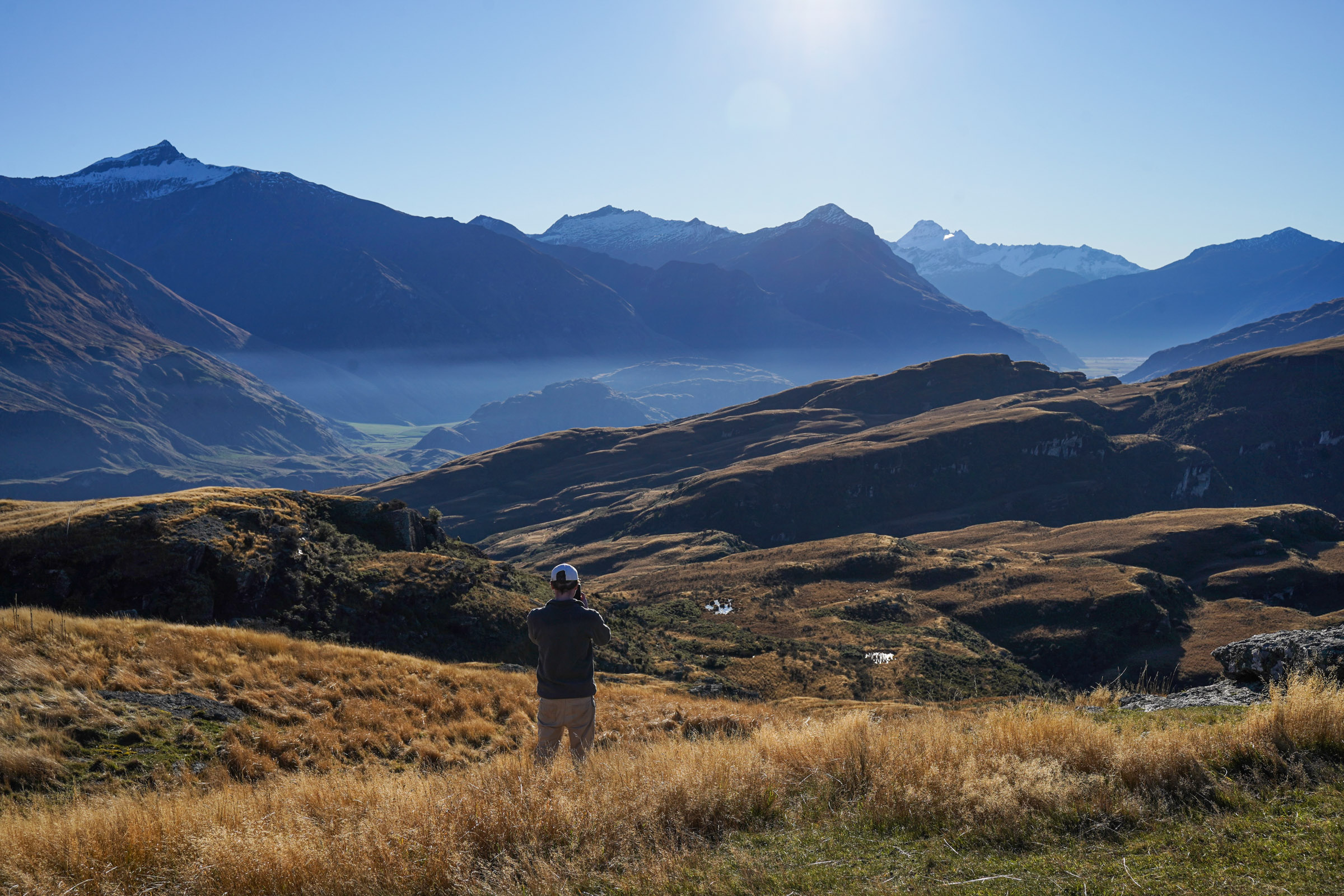
You can go down by either of two tracks: the one you came up, or the other side of the hill, as shown on the map in this report. The descent takes about as long as the climb, maybe slightly less. The views are much the same whichever way you go.
So this report came out short, much like the track itself. If you had to choose between this and something like Roys Peak or Isthmus Peak, those two are of course the better bet for the views. But if you are in the area for a while and have done all the well-known tracks, or do not have the energy for something big, this is a good alternative.