I came across this track completely by chance while looking at Google Maps and wondering where to go for a short walk close to town. I stumbled on a point called Tom's Peak on the western side of Ben Lomond. I tapped on it, saw a few striking photos, and decided to find out more about the track, because I had never heard of the place before.
The search turned out to be less simple than expected. I could not find a single trip report about this peak online. So I went back to Google Maps and noticed that the point itself had a link to a video. It leads to a small YouTube channel belonging to a man called Tom Woodwards. In the video he shows the climb up Ben Lomond by the western side of the mountain, and along with it that same lookout with its panorama over Queenstown.
Putting two and two together, that the point is called Tom's Peak and the channel the link goes to belongs to someone called Tom, I assumed he had created it. Here is the video itself, showing the route. If you are planning to go, I recommend watching it alongside this report, above all to work out where the track starts.
Once you pass numbers 71, 69, or 57B on Dart Place you come out at dense forest and almost immediately see the track. It is a fairly old downhill bike trail, which you now have to climb on foot. It first heads right, then turns sharply left and up.
The first 20 to 25 minutes of the climb are hard going. The track itself is good, but the gradient on this section is very steep. Getting lost here is difficult: there is only one route up and no side branches. There is not much to see at first either, only scrub and bare conifers all around.
After that the track eases off a little. The climb carries on, but the walking gets noticeably easier.
About half an hour in there is a small gap in the forest with a view of the Remarkables, shown in the photo below. It is a sign that you are on the right track. After that the views disappear back into the trees.
The higher you climb, the more dead the forest will seem. And you are not imagining it: it really is dead, and it was killed deliberately.
Why the forest is dead
These are wilding conifers. Douglas fir, larch, and pines were brought here by Europeans in the nineteenth century. After that they began spreading on their own: their seed is carried on the wind for kilometres. For the landscape here they are the number one plant pest. They crowd out beech forest, tussock, and shrubland, take up water other plants need, and sharply increase the fire risk. Left alone, the open slopes around Queenstown would turn into unbroken conifer forest within a few decades. The Whakatipu Wilding Control Group has been working on this since 2009. Large trees are often not felled but drilled, with herbicide poured into the holes. That is why the dead trunks are left standing until they rot away.
After an hour of climbing you finally come out of the forest. Keep following the track and stay right at the junction. From there you carry on until the track more or less runs out, and then climb the hill on your right. Again I recommend watching the video: around the three minute mark you can see which way to head.
There is no track here, but you need to head uphill without drifting too far left or right, using the ridge that runs up to Ben Lomond as your reference; it will rise in the distance above you. From this point there is another 250 metres or so to gain.
As you climb, more and more of the surrounding landscape opens up.
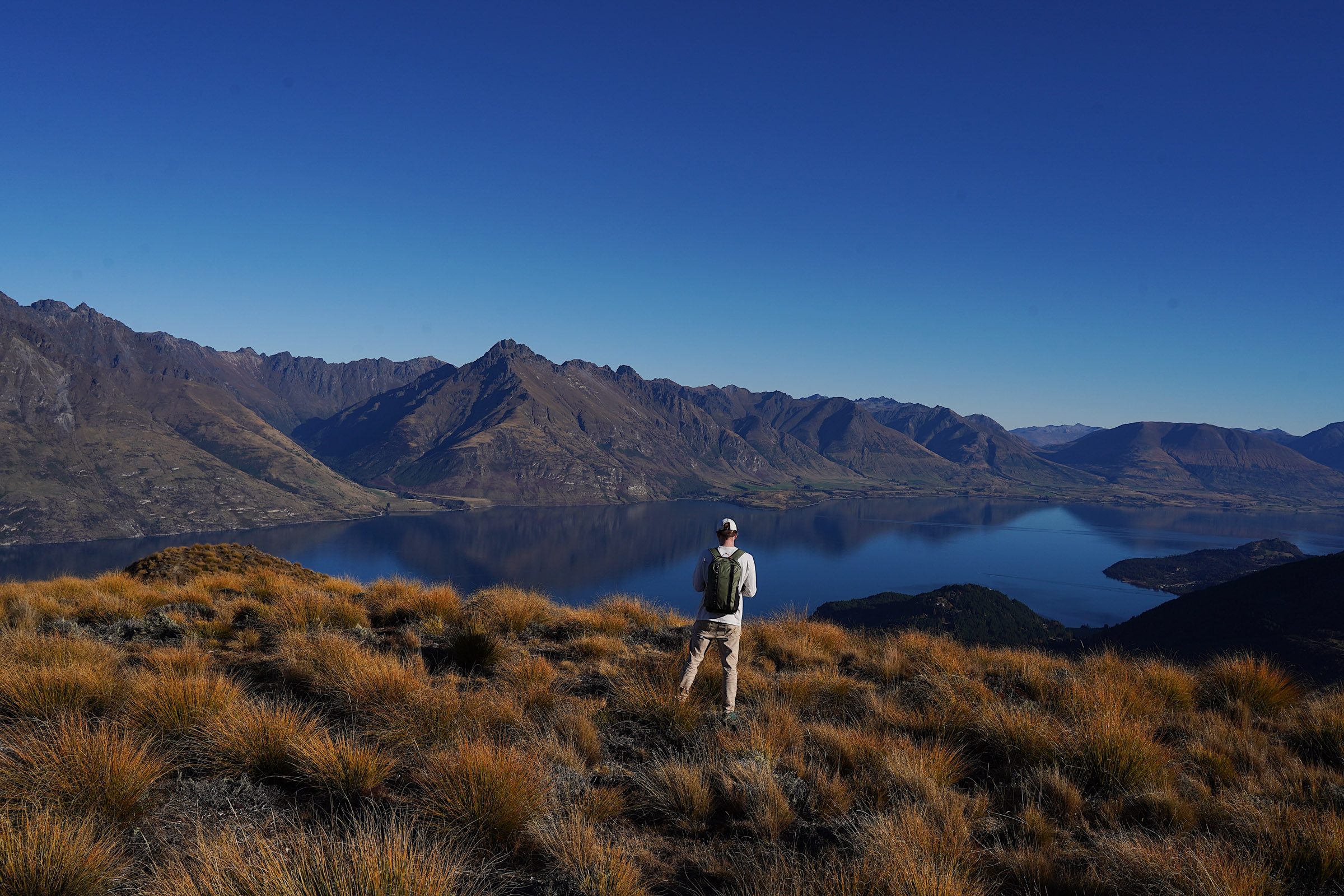
Although there is no beaten path here, you walk on tussock, those clumps of grass you can see in the photo above, and on the whole it is not difficult.
The end point of this route is a set of rocks where you can take photographs in every direction to your heart's content. We got to the top in about two hours without rushing.
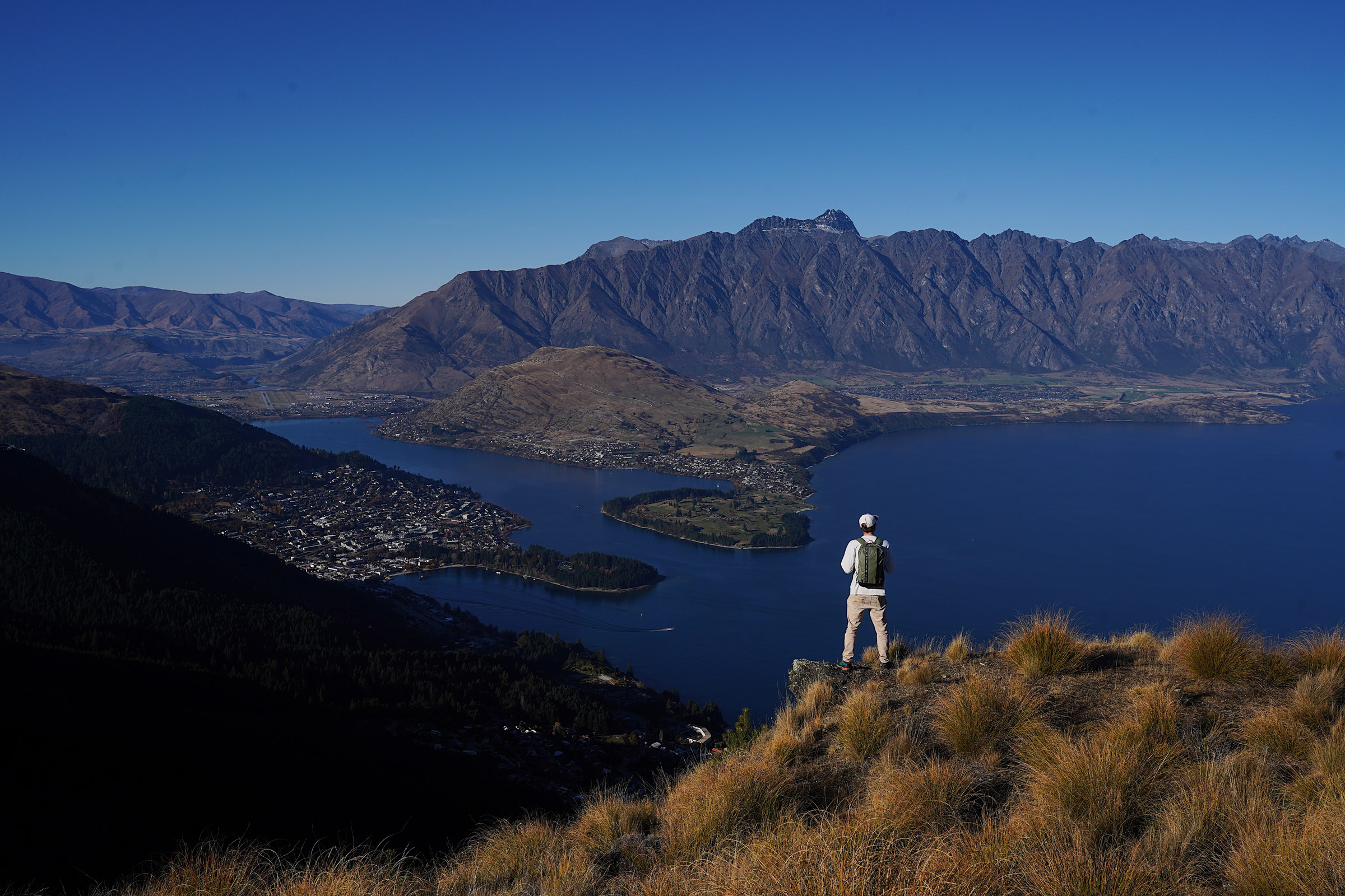
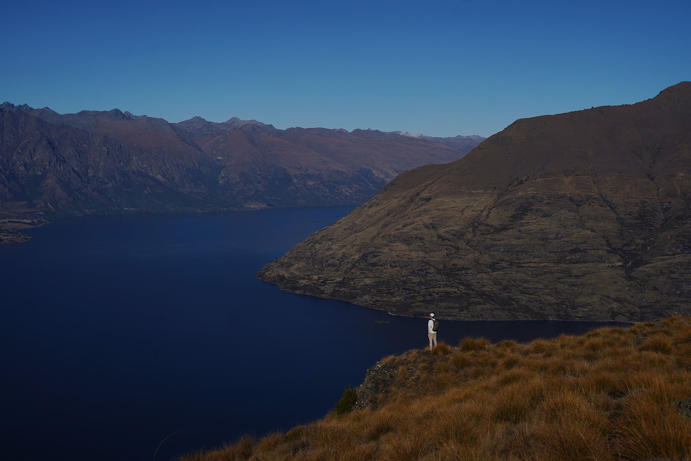
In his video Tom compared the views here to Roys Peak. At the time I did not think they were alike, but going back through the photos I found these shots, where there really is a resemblance.
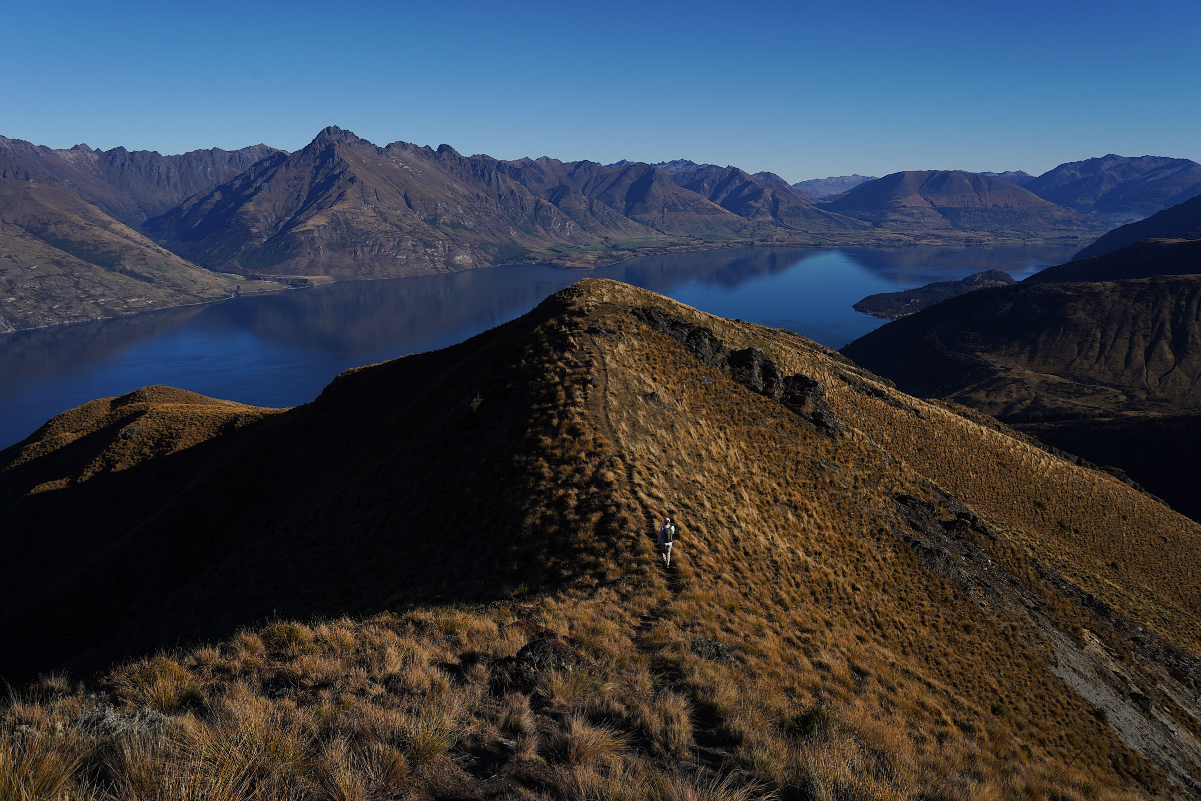
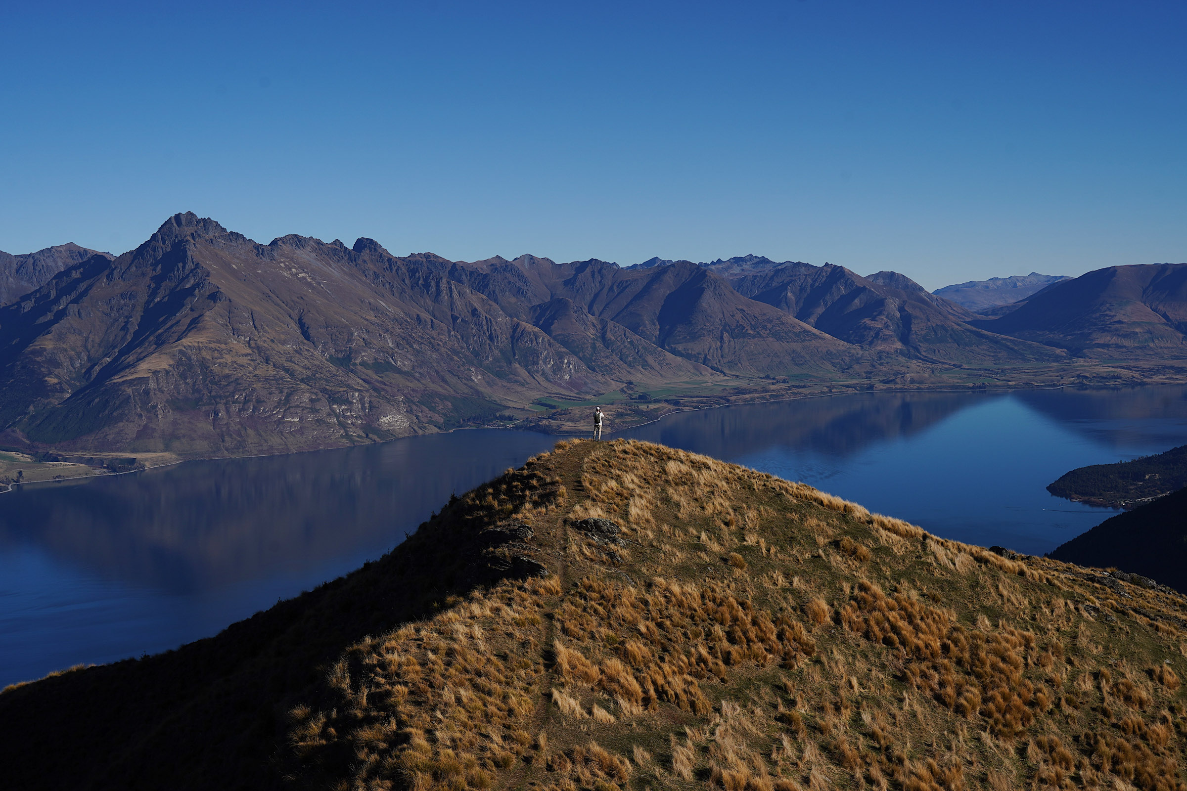
From here you can carry on along the ridge and the rocks all the way to the summit of Ben Lomond, which Tom also covers in his video. But winter had already started by then, the daylight was short, and our plans for the day were not that ambitious. Had we gone on, there would have been another 700 metres or so to climb.
Instead we sat down, had something to eat, took a few more shots, and headed back at an easy pace.
You go down the same way you came up, but now you are facing the other direction, so there are plenty of good views along the way.
Thankfully the descent is nothing difficult, and it is fairly clear where to go. The main thing is not to drift too far left.
The whole walk will take you three to four hours. That is a short report on a little-known track. It will appeal to anyone who has been to Queenstown a few times already and worked through all the well-known routes. And one day I will come back here again to carry on up Ben Lomond.