I found out about this track by chance. We had only just moved to Queenstown, it was late autumn, and I was scouting the area. Originally I just wanted to drive to the Remarkables car park, head past Lake Alta towards Wye Creek, and scramble around the peaks for the views. I suggested this plan to our friend Nastya: by then she had lived in Queenstown for a long time, had hiked a lot in the local mountains, and had mountaineering training. Her reply was: why go there when there is Queens Drive.
I was surprised, because I had not heard of Queens Drive before, even though I had already been almost everywhere on the Remarkables. I knew Lake Alta, the Queenstown viewpoint on the Shadow Basin side, and had an idea of where Single Cone and Double Cone were. I found a couple of reports, the route looked interesting, and we agreed. Nastya and I had not hiked together before, so she spent a long time quizzing me on how fit we were, how we handled rock, and whether we were ready for a hard track. I confidently answered that we were seasoned and everything was fine. Once on the route it became clear what all those questions were about.
We set off on Queens Drive on 2 May, which is late autumn in New Zealand. A couple of weeks earlier the first snow had fallen in the mountains, but it was still warm and most of it had melted. From our house in Jacks Point you can see the whole of the Remarkables. You can also see the line the route follows. From below, two kilometres beneath the ridge, it looked as if there was almost no snow up top.
Here is my point. The track runs along the outer side of the ridge, the very one you can see from Queenstown and Jacks Point, right below Single Cone and Double Cone. You walk along a narrow something like a trail, with a sharp drop below it. For the route to be safe and to pass calmly, there should be no snow or ice here at all. In May, unfortunately, we had hard snow lying. So do not repeat what we did in this report if you do not have the training and the readiness to walk above a drop. But first things first.
We set off from the Remarkables Ski Field car park fairly late by winter standards, at 10:20. There are two ways to reach the point where the climb onto the outer ridge begins. The first: straight right along the switchbacks to Shadow Basin and the Queenstown viewpoint, shorter and faster, but it is a non-stop 340-metre climb over 2.2 km. The second: via Lake Alta and then up the hill to the same Shadow Basin, a little longer, but the climb is not as steep. We chose the second option.
It is 1.8 km to Lake Alta with an easy 200-metre gain. This is a walking trail used by lots of people of all levels. I will tell you more about the route around Lake Alta and Shadow Basin in one of the next reports.
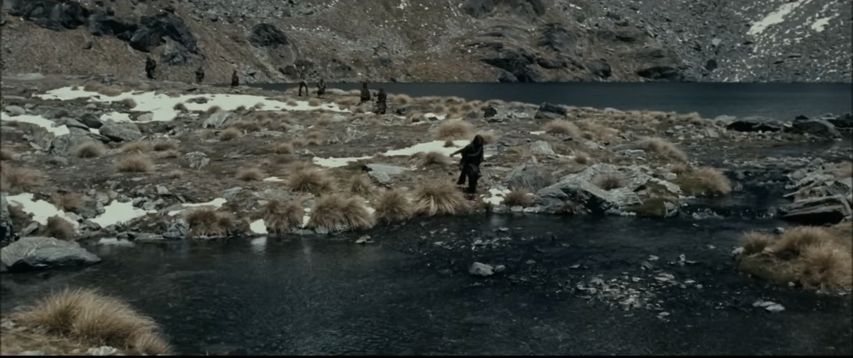
Here you can catch your breath, photograph the lake and Single with Double Cone. By the way, "The Lord of the Rings" was filmed here: Lake Alta made it into "The Fellowship of the Ring" as the slopes of Dimrill Dale, down which Aragorn leads the fellowship right after Moria, when the Balrog dragged Gandalf down with it. I will not apologise for the spoilers, the film is 26 years old (though that fact itself is the most frightening of all).
Then up and to the right along the slope. If you look closely you can make out something like a trail, but to avoid wasting time searching for it, it is enough to just keep gaining height towards the top of the slope. The climb is steep and loose, in places you have to clamber over large boulders, but so far it is not hard. You need to climb less than a kilometre and gain about 170 metres. From the top more views open up: onto Lake Alta and onto other parts of the Remarkables, for example Sugar Bowl Basin.
The next landmark is the top of the Shadow Basin lift. From it, oddly enough, you need to descend a little down the Calypso ski run (that is how it is labelled in Organic Maps), some three or four hundred metres, and on the left there will be a way out onto a small saddle. I do not have photos from this spot, but I marked it on the map and elevation profile above. On Google Maps the point is labelled Ultimate Remarkables View, and in Organic Maps a Lookout Viewpoint is marked nearby. From here, at almost two thousand metres, a view of Queenstown and Wakatipu opens up.
This is where the easy stage ends and the most interesting part begins. From the spot where the last shot was taken, a steep climb up is visible on the left. That is where we are headed.
Higher up something like a beaten path appears, a sign that we are going in the right direction. Even more beautiful views of Queenstown and Wakatipu open up, along with a sharp drop and jagged rocks below. Those who are afraid of heights may feel uneasy here.
From here the path runs along the ridge. At the start of the traverse everything looked fine: a beaten trail was visible, and snow turned up only in occasional patches.
A couple of hundred metres on, everything changed. The track starts on the side that the sun lights fairly well, and there the snow had managed to melt over a few days. But the further we went, the less sun reached the slope during the day. In the end we ran into a section where hard, slippery snow lay, turning into ice.
We weighed up whether to turn back. The section ahead seemed small, so we carried on.
At first we tried to stay as close as possible to the rock of the ridge, in places clambering along it, clinging with hands and feet. Climbing-gym experience came in handy here.
The trap was the shape of the route, we could not see it whole, only in parts. We would climb through one part, and a new one would open up. And each time we hoped that round the corner the snow would end.
On one section we ran into a large chunk of snow-ice that could no longer be bypassed along the rock. This is where Nastya's mountaineering skills came in. She showed us (and did most of it herself) how to kick a step into the hard snow with your foot to stand on it and move on. The snow was hard, each step took a couple of minutes. At the same time we hacked out handholds in the snow with rocks.
The whole "charm" of it is that below you is a sheer drop you really did not want to fall off. On the whole we held up confidently, cutting deep steps you could walk along easily. For an untrained person it would have been hard and dangerous here.
There were several more such chunks ahead. If on the first one the stress was off the scale, later it got easier, and we were cutting steps on autopilot. Honestly, crampons would have been very useful here. The whole section along the ridge is less than a kilometre, but we walked, crawled, and hacked our way along it for about two hours.
The section was hard both physically and mentally: cutting steps, climbing over rocks, in places moving along sitting down, and all of it above a decent drop. In summer, when there is no snow, it is all different: a narrow trail appears here, like at the start of the ridge, and the section passes calmly, without the tension we went through.
At the same time the section itself is insanely beautiful. Huge sheer cliffs, and from up high, laid out below you, Wakatipu, Cecil Peak, Jacks Point, and Queenstown.
After this stretch we rested and had a bite before the next technically tricky section. Ahead lie two kilometres of scrambling over rocks (that is, you constantly have to step, jump, and clamber from one large rock to another) to the Wye Creek valley and Double Cone Lakes. The rocks are of different sizes, and the constant series of jumps, descents, and climbs is physically draining: a good load on the knees and legs.
The second difficulty is that the route is not marked at all, and the main thing here is not to lose your way. You are constantly drawn to go further right and slightly down, but that is a mistake. You need to keep to the left, not straying far from the ridge (but not right against it either), and navigate by two lakes that will appear in the distance on the left after about 600 metres.
The landscape changes again here: wild country, not a single person, mountains in the distance, and the gradually opening Wye Creek valley. You need to approach the lakes carefully. You cannot get down directly to the first and largest, Double Cone Lake: there is a sharp drop on the left. You have to go parallel to it and descend to the water (keep going straight).
From here there is a beautiful view down onto the Wye Creek valley. One of the routes from the Remarkables Ski Field runs along it: through Lake Alta, past the spot where we are now standing, and then down the valley to the small Wye Creek track and the highway between Kingston and Queenstown. I have not walked it myself yet, but it is on the list.
By the time we reached the lakes it was gone three, and it was heading towards sunset (in May it got dark around six in the evening). Surrounded by high mountains, the sense of approaching evening comes on faster, the shadows lengthen before your eyes.
From there we moved up along the Wye Creek route towards Lake Alta. There are no marked trails here either, but Single Cone is visible along with the saddle you need to reach. In short: go up and keep slightly to the left. It is two kilometres to the saddle we needed, plus a final 275 metres of climb.
The terrain here is easy: no rocks, no drops, low vegetation, a little boggy in places by the lakes and streams, but nothing serious.
Before the final climb we spent a long time deciding which saddle to climb: the Lake Alta saddle or the Curvey Basin saddle. The Alta one was all under snow, and after the outer ridge we really did not want to crawl over snow again. But Curvey Basin was noticeably further.
After a quick discussion we chose the first option and did not regret it. The snow was hard, but the gradient here turned out to be not as severe as we had thought, and we climbed up without trouble. Though "without trouble" is putting it strongly: by that point our strength was almost gone, and the last metres were hard.
But at the top we were met by sunset light and a panorama of Lake Alta ahead and Wye Creek behind.
After that only a little remained: descend to Alta (there is something like a trail here) and return to the car park the same way we came at the start. A descent is a descent, but there were still about two kilometres to go, and by this time your legs are already humming and you just want to reach the car sooner. We got back around six in the evening. The whole track took about seven hours.
In conclusion: this is an excellent track, an untrodden trail where you are unlikely to meet anyone. But you need to be prepared in any season. In winter it is better not to venture here at all, and in summer to remember that the trail is not marked, the heights are serious, and you need to be in decent shape to hop across all those rocks.