Tasman Lake is worth treating as an add-on to the main tracks in Mount Cook National Park. The best way to do it is together with Hooker Valley, and ideally after it. You could of course try to come here after Sealy Tarns or Mueller Hut, but I doubt you will have any desire to go anywhere after tracks that hard on the legs.
Since the route is so short, less than a kilometre one way, I will show a couple of photos from the road that runs up the Tasman Valley to the start. The views here are every bit as good as the ones on the drive up to White Horse Hill.
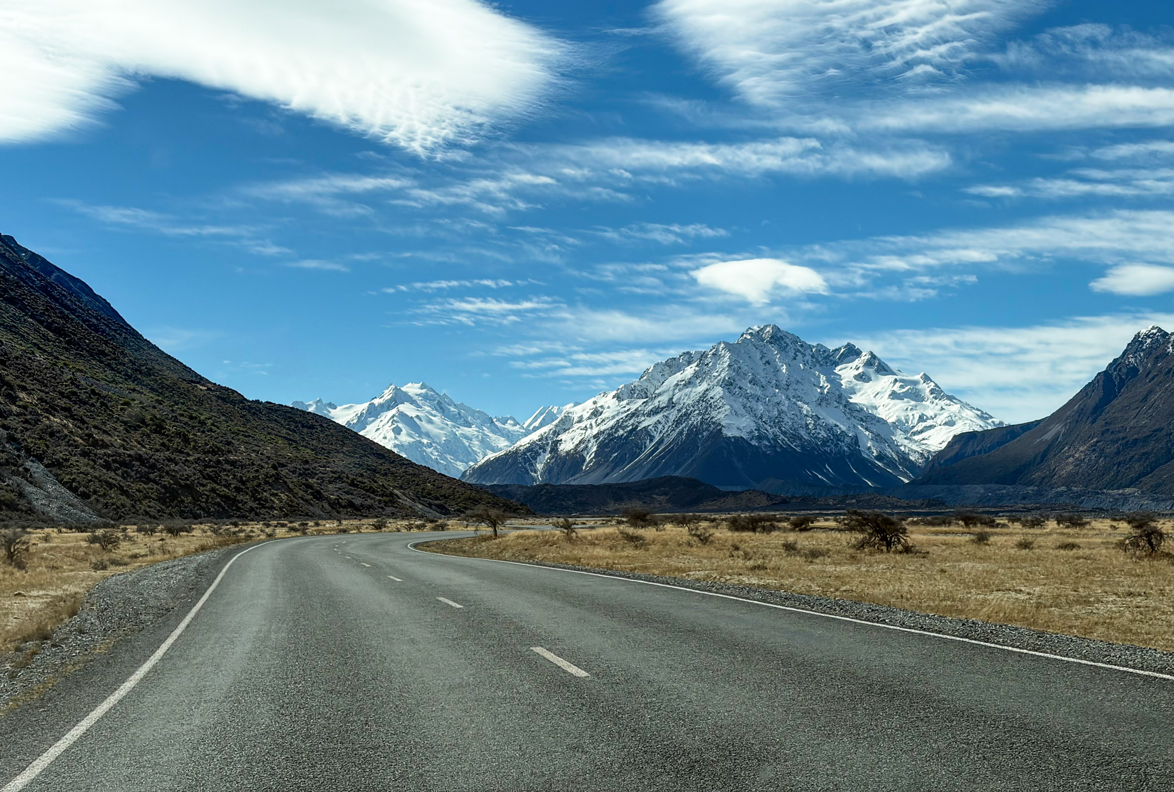
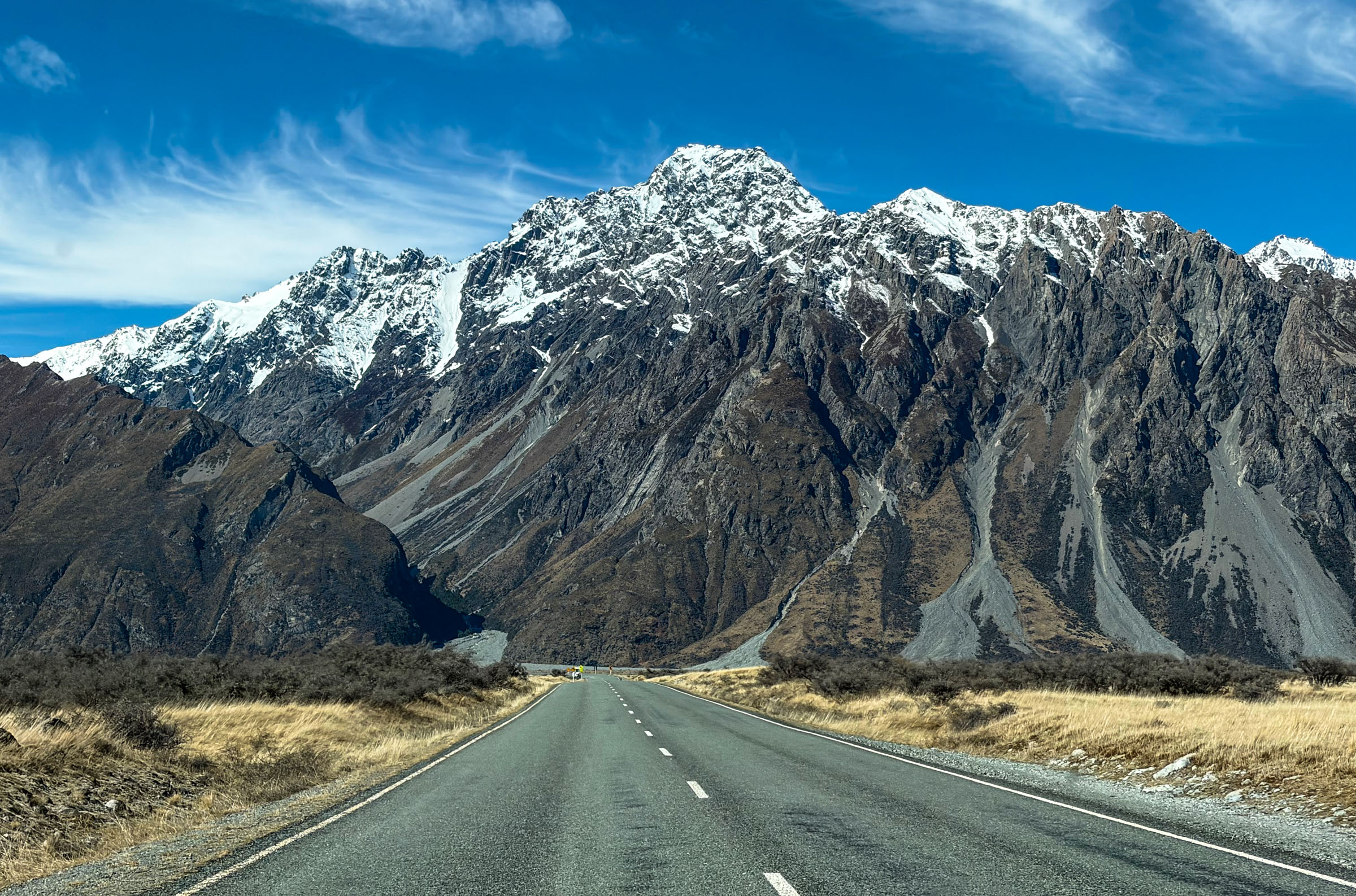
The whole walk is mostly a climb up steps. There is not far to go and under 100 metres of gain, but if you have already done Hooker Valley that day your legs will be getting tired, and I would still strongly recommend pulling yourself together and going all the way to the top.
Right at the start of the walk there is a small junction, and you need to keep left. The right-hand track leads to the place where the boat tours on the lake depart from.
After about five minutes of climbing the Blue Lakes come into view, and these days they look more of a swampy green.
Why the Blue Lakes are not blue
When these lakes were given that name, back in the mid-1800s, they really were bright blue. They were fed by meltwater from the Tasman Glacier, and that is what gave them the colour. Then the glacier retreated and its water stopped reaching them. Now the lakes are filled by rainwater, which is warmer, algae grow in it, and that is where the green comes from. Nobody has bothered changing the name since.
From there it is another ten minutes or so, and the view of the lake and the glacier opens up. Both times I have been there it has been pretty windy.
The Tasman Glacier and its lake
This is the longest glacier in New Zealand: 23.5 kilometres long, up to four kilometres wide, and in places the ice is 600 metres thick. The lower part is completely covered in dirt and rock dust, which work like a blanket and slow the melting down, and that is why the glacier looks dirty from here. The lake you are looking at simply did not exist in 1973. By 2008 it had grown to seven kilometres long, two wide and 245 metres deep, and it keeps growing: the glacier is retreating by around 180 metres a year on average. And in February 2011, during the Christchurch earthquake, somewhere between 30 and 40 million tonnes of ice broke off it in one go.
That is basically the whole walk. In one direction you get views of Tasman Lake, the glacier and the mountains of the Southern Alps, and in the other, views down the Tasman Valley and of Lake Pukaki in the distance.
On the way back, as you drive from the car park towards the main road, you can pull off to the left and find yourself at a Lord of the Rings filming location. The mountains that stood behind Minas Tirith in the film are recognisable from there.
How to find the spot
The landmark is the Truss Bridge on Tasman Valley Road, about a kilometre and a half from the turnoff off the main road. There is no track and no signage, but there are plenty of pull-offs near the bridge where you can line up the angle from the film. The city itself was of course added in later, but the mountains behind it are real and you will recognise them straight away.
So that is a short report on a short walk that was worth writing about. Do not treat it as a reason to drive to Mount Cook on its own. As I said above, it is an add-on to one of the main walks in the park, Hooker Valley for example.