The climb to Lake Marian is one of the most popular short routes in Fiordland, and it goes comfortably in three to four hours depending on your pace. In summer, when the daylight lasts, the track pairs easily with a trip to Milford Sound itself. You can take a cruise in the morning and stop here on the way back.
This report came out short compared to many of the others, because there is unfortunately not much to say about the track itself: it is brief, and most of the way runs through forest where you can see practically nothing.
So I am going to use the chance to show a few photos from the road in this area, between the Lake Marian car park and Milford Sound. If you are travelling around the South Island of New Zealand, Milford Sound is a must-see, and you will definitely drive this road on your way there.
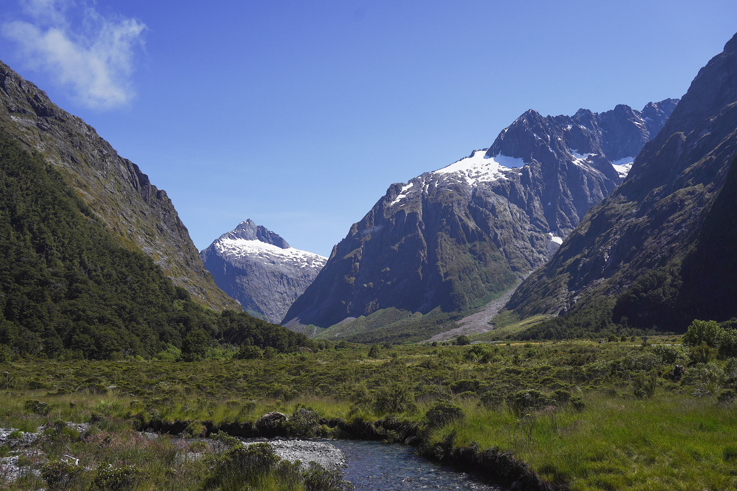
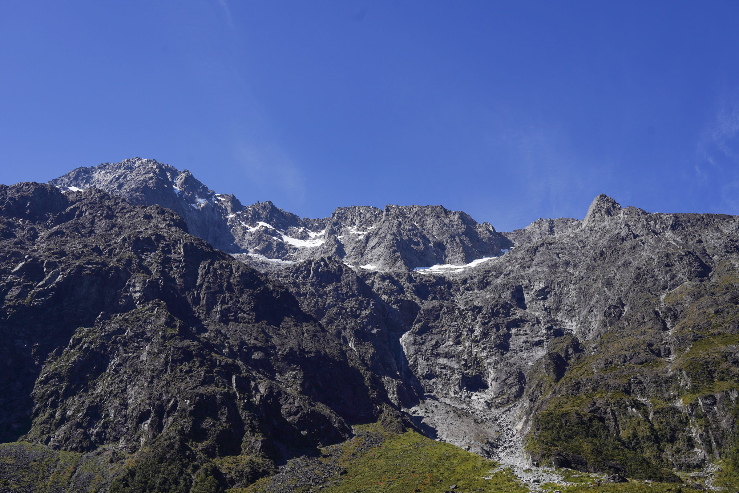
The road follows State Highway 94, and I guarantee it is one of the most beautiful roads you will ever have driven. There are plenty of pull-offs along the way with stunning views of the high mountains that surround you on every side.
Monkey Creek
A small stop by a stream on State Highway 94, where there are almost always tour buses parked. The name has nothing to do with monkeys: it is thought the place was named after a dog called Monkey that belonged to the surveyor William Henry Homer. In 1889 he reached the nearby Homer Saddle, which in turn gave its name to the tunnel that runs beneath it. Kea are a common sight in the car park.
Once you come out of the Homer Tunnel there are even more views of the mountains and the valley.
Homer Tunnel
The only road to Milford Sound passes through a tunnel driven straight into the Darran Mountains. Construction work did not begin until 1935, at the height of the Great Depression, using unemployed labour. It started with five men working with picks and wheelbarrows. Conditions were harsh: frequent rain, snow, and a constant avalanche risk, and one of those avalanches killed a worker at the tunnel entrance in 1936. The mountain was broken through in 1940, then the war stopped the work, and in 1945 an avalanche destroyed the eastern portal. The road only opened to traffic in 1954, nineteen years after construction started. The tunnel is about 1,240 metres long.
So, let us come back in our minds to the car park at the start of the track. It begins on a well-formed trail and stays that way as far as the first and, in practice, the only point of interest before the final viewpoint. That is Marian Falls. Anyone can get this far, and people usually come here with children.
Marian Falls is a series of small waterfalls and rapids on Marian Creek, which flows out of the lake itself. You can look at them from wooden platforms, of which there are several, built relatively recently.
After that the trail gets significantly worse. You will not lose it, because it is clearly well trodden, but the quality is nothing like it was at the start.
There are a great many roots, rocks, and natural steps of all sizes on the trail, along with a fair amount of mud. We walked it in the middle of summer, and I remember it being humid and very stuffy. Fortunately the dense forest at least kept the burning sun off.
I have practically no photos from the climb, apart from a couple of shots of the trail itself that show its condition, although in the photos it looks nowhere near as bad as it actually felt.
The suffering does not last long: after roughly an hour and a half you will reach the end point. Just before the finish a gap opens up in the forest with a view of the mountains, which means you are almost there.
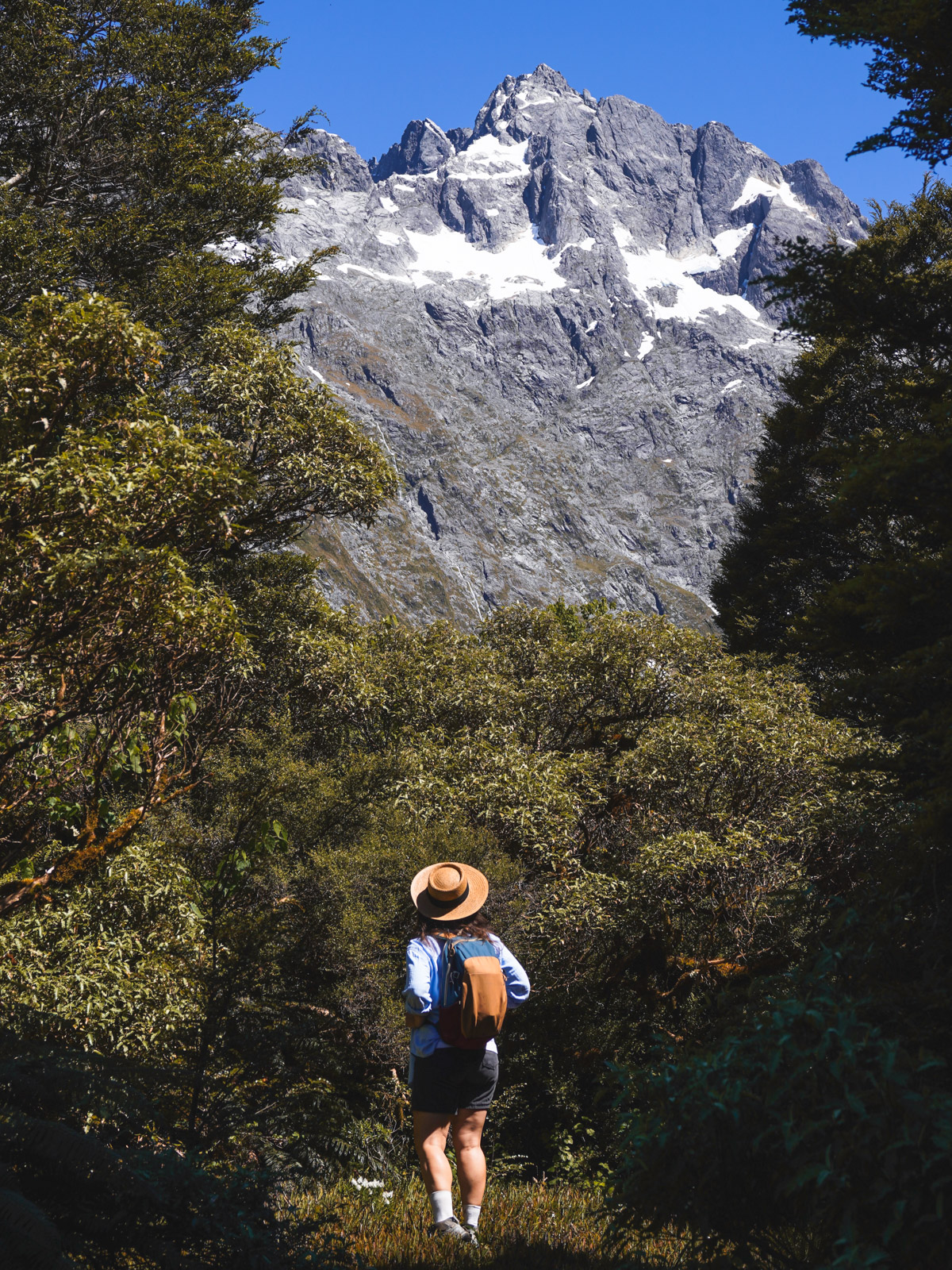
There is no lookout or viewing platform as such. You simply come out on the shore of the lake, which opens up a view of the mountains. There is not much room to sit down either. Since we were there in summer the lake was full, and almost the whole shore was under water.
The Marian valley
Lake Marian sits at about 695 metres on the southern edge of the Darran Mountains. During the ice age a glacier filled the lake's valley, while a far larger one ran down the Hollyford Valley. That larger glacier cut its valley much deeper, so once the ice was gone Lake Marian was left almost 400 metres above the floor of the Hollyford. On every side except the entrance to the valley the lake is ringed by peaks over two thousand metres: Mount Christina, Mount Crosscut, and Mount Gunn. Further up the valley, where Marian Creek comes from, there are two more small lakes, Lake Mariana and Lake Marianette, along with Lyttle Falls, which drops around 120 metres.
When we got to the top there was almost nowhere to sit. We tried to go right along the shore, but it turned out to be a dead end with impassable scrub, so we decided to try heading left, where a small trail led away. It is narrow and barely visible in the bushes.
We followed it for a couple of hundred metres and found a spot with a similar view, but without the people.
Even though this is an alpine lake, the kind you expect to be freezing, the water turned out to be very warm that day and I even went for a swim. On a hot summer day that was a nice bonus.
The trail we took leads somewhere further on, and it may well come out at the head of the valley. But it was so hot that day that we decided to turn back and drive towards Milford Sound instead.
The descent will take you about as long as the climb.
In the end it is hard to reach any clear verdict on this track. It is pretty and enjoyable enough, but the route itself is not very comfortable and it is dull. On the plus side it is short and does not take much time, so it is easy to combine with either a cruise on Milford Sound or another short track, Key Summit for instance, which is not far away.
If the choice is between Gertrude Saddle and Lake Marian, and you have the fitness and enough time for the first one, then you should absolutely go for Gertrude. It is far harder physically, but the views from it beat Lake Marian several times over.
Either way it is a decent track, and worth doing at least once, especially if you have based yourself in Te Anau for a few days and have already been on the other well-known routes.